Weerwaarschuwingen Archief: vrijdag 24-01-2025 15:00 MET - Verenigd Koninkrijk


00:00-06:00

06:00-12:00

12:00-18:00

18:00-24:00


Severe Weather Warnings: Regen
issued by the Metoffice at
14:00, 24.01.2025
valid from
08:00, 26.01.2025
until
06:00, 27.01.2025
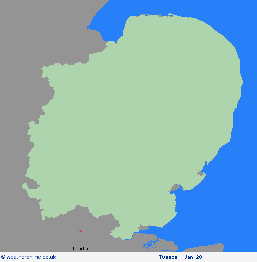
Regio: East of England
A period of heavy rain is likely to affect central and southern England and much of Wales during Sunday morning followed by some heavy, thundery showers. Quite widely, 10-20 mm will fall, with locally nearer 30-50 mm over high ground, particularly over exposed south or southeast-facing upslopes. It's then possible that a further spell of heavy rain may develop and affect parts of England and Wales on Sunday evening, clearing early Monday and should this be the case a few places may see as much as 80 mm of rainfall in total. Given recent heavy rain, this extra rainfall could lead to some local surface water and river flooding. What Should I Do? Check if your property could be at risk of flooding. If so, consider preparing a flood plan and an emergency flood kit. Give yourself the best chance of avoiding delays by checking road conditions if driving, or bus and train timetables, amending your travel plans if necessary. People cope better with power cuts when they have prepared for them in advance. It’s easy to do; consider gathering torches and batteries, a mobile phone power pack and other essential items. Be prepared for weather warnings to change quickly: when a weather warning is issued, the Met Office recommends staying up to date with the weather forecast in your area.
Chief ForecasterSpells of heavy rain may lead to some local flooding during Sunday and Monday.
The public is advised to take extra care, further information and advice can be found here: http://www.metoffice.gov.uk/weather/uk/links.html
- Overzicht


- Orkney-eilanden & Shetlandeilanden

- Highland & Eilean Siar
- Grampian
- Strathclyde
- Central, Tayside & Fife
- SW Scotland, Lothian Borders
- Noord-Ierland
- Wales

- North West England
- North East England
- Yorkshire & Humber
- West Midlands
- East Midlands
- East of England
- Zuid-West-Engeland
- Londen & South East England
24.01.2025